Last weekend, I ventured down to the head of Lake Wakatipu with two mates for a hike-n-fly mission near Glenorchy – a super scenic little town about an hour away from Queenstown.
This was the first overnight hike-n-fly trip I’ve done this year, and I was excited to fly from the flanks of Mt McIntosh, a 1,701 metre mountain that overlooks the Dart and Rees Valley and the iconic Mt Earnslaw. I wasn’t, however, excited to lug my paraglider and food and cooker and sleeping bag up the mountain, albeit that’s the nature of the game.
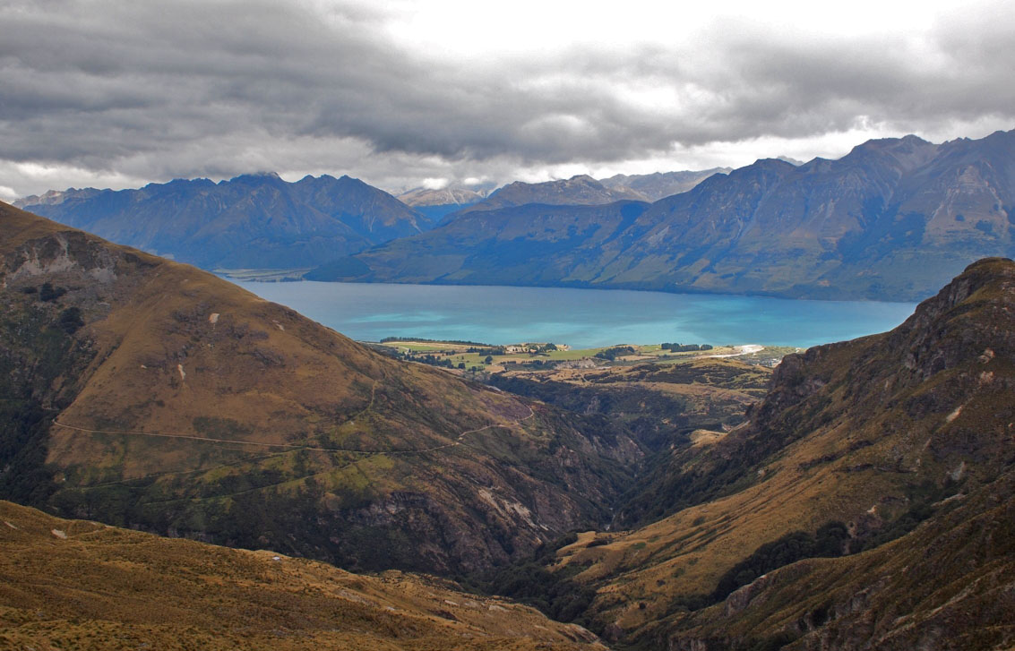
I had not been back this way since 2011, when I did a hike-n-bike mission with my mate Toby. Four years later, I’ve exchanged my bike for my paraglider – an equally exciting way to get back down the mountain at the end of the trip.
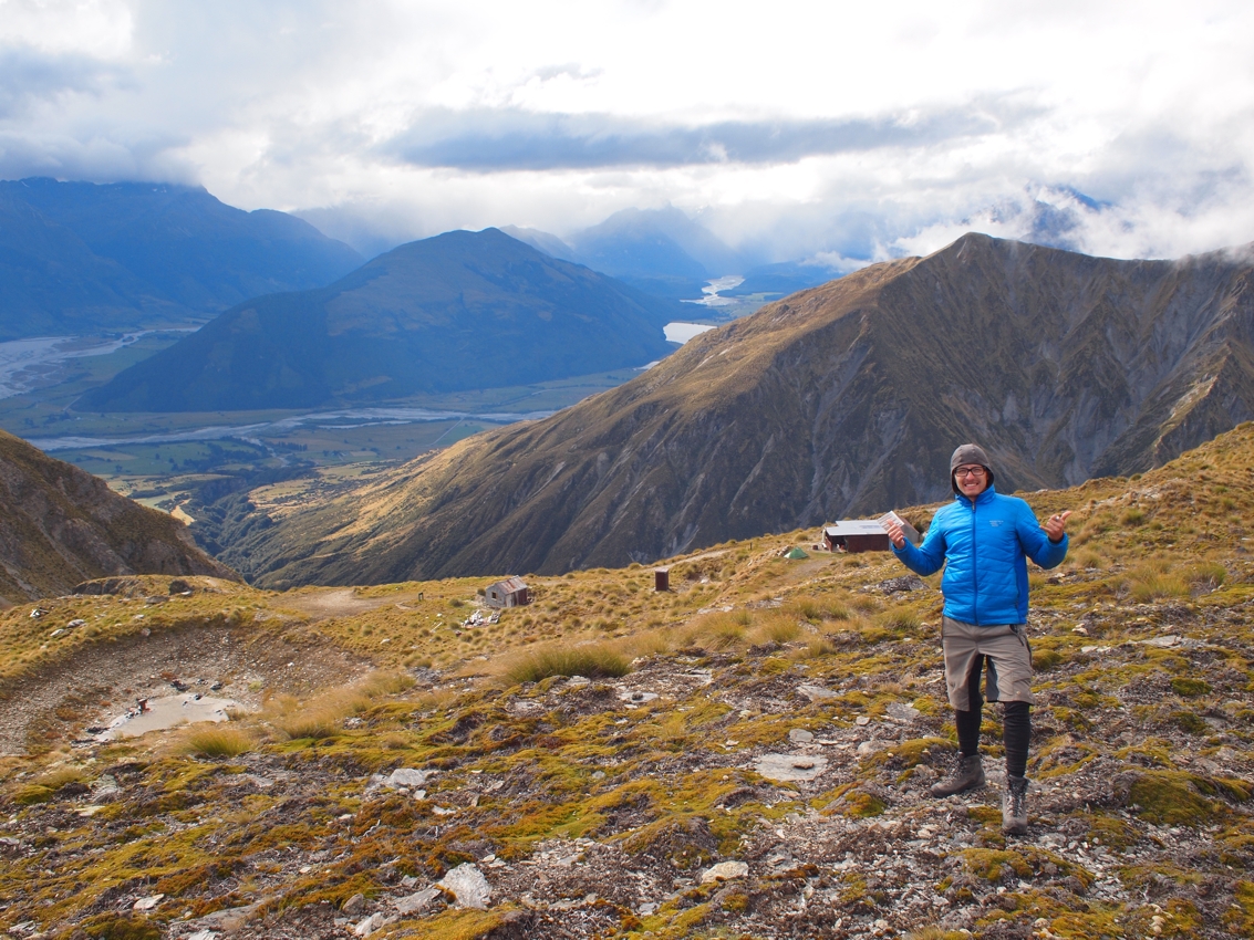
The hike starts with a slow climb up the Mt Judah road before dropping down into the Buckler Burn. This river could very easily be impassable in times of heavy rain, so if you’re heading back this way don’t be tempted to cross if the flow is too high. After crossing the river, there’s a significant grunt up to the 1,400 metre Mt McIntosh Hut – a grunt made especially difficult with 20kgs of paragliding gear on my back. About half-way up, you pass the equally scenic Mt McIntyre Hut – a brilliant overnight option as well.
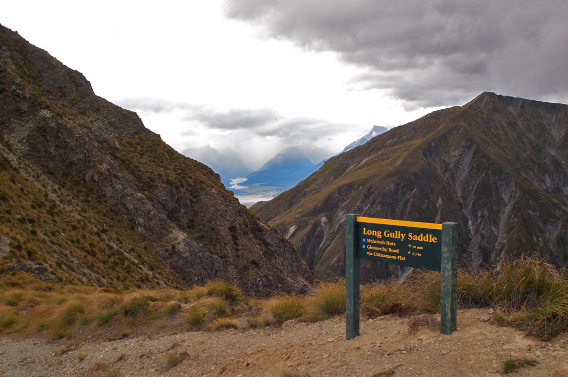
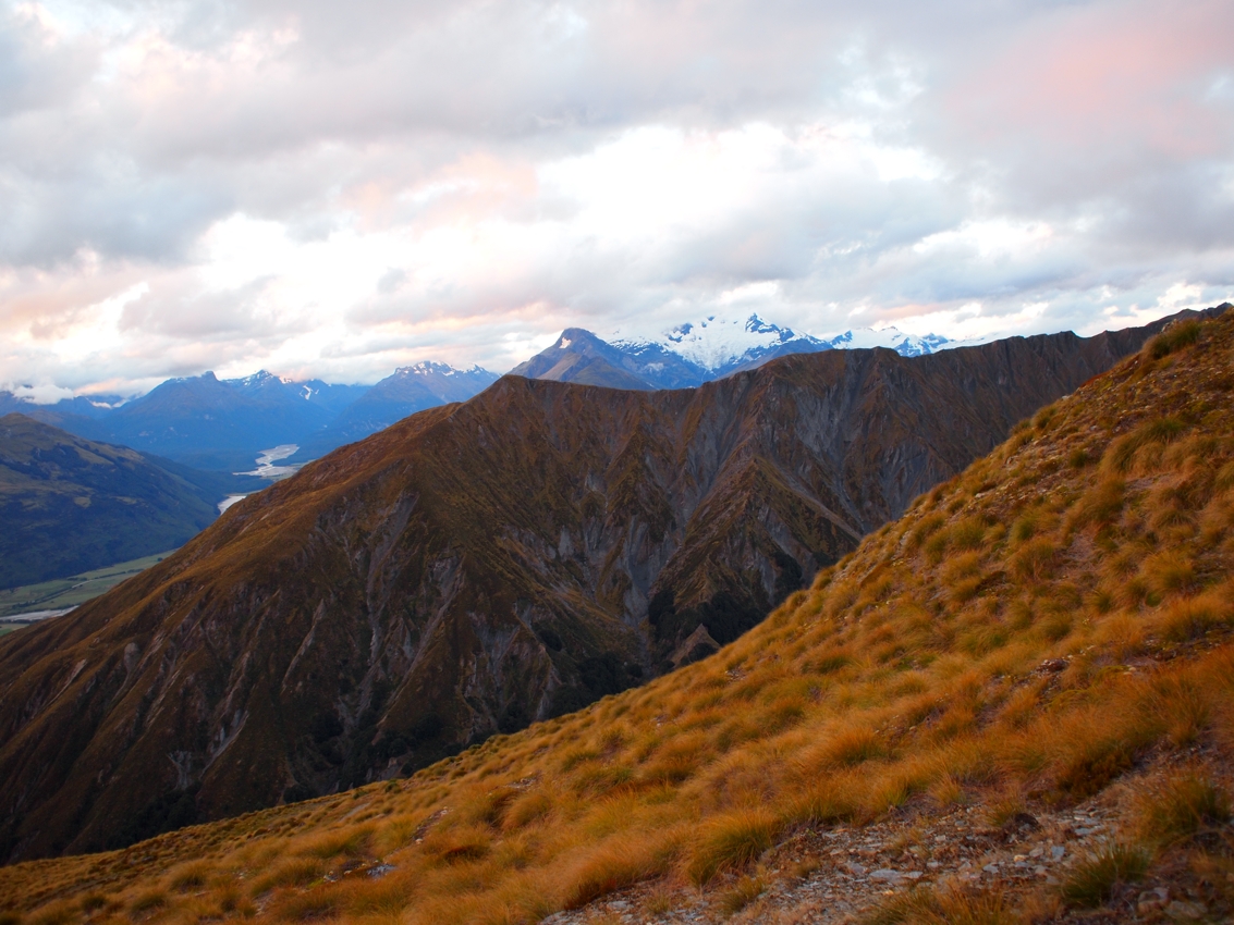
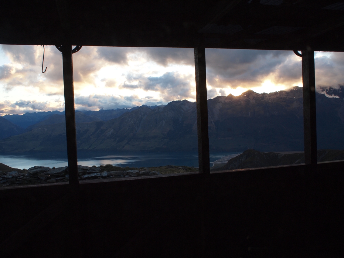
No two backcountry huts in New Zealand are the same, and the McIntosh Hut doesn’t disappoint. It was a delightful place to spend the night, with Mother Nature giving us wind, rain, sun and about everything in between. The hut is situated on the side of Mt McIntosh and the changing weather afforded us some moody views of Mt Alfred, Mt Earnslaw and the Rees Valley.
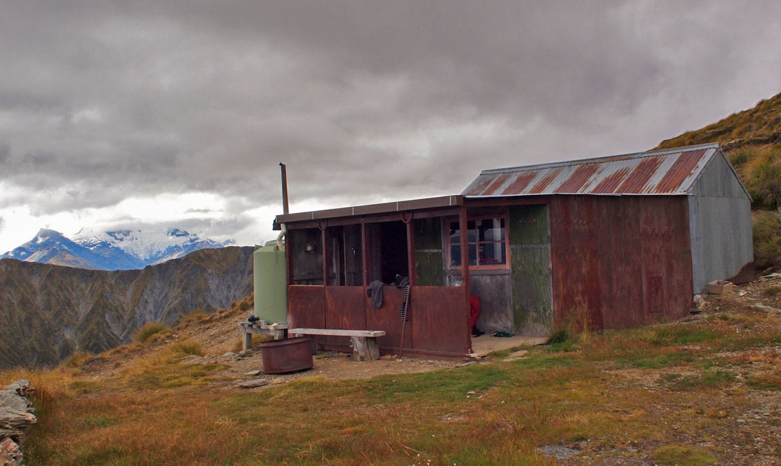
The majority of huts in the New Zealand backcountry would have originally been built for deer cullers; deer were introduced into New Zealand for hunting in the mid 1800s, and soon their population ballooned and these introduced mammals were wreaking havoc on the natural ecosystem. In the early 1900s the government employed hunters to tackle the New Zealand backcountry, paying them a bounty on the deer they were able to cull.
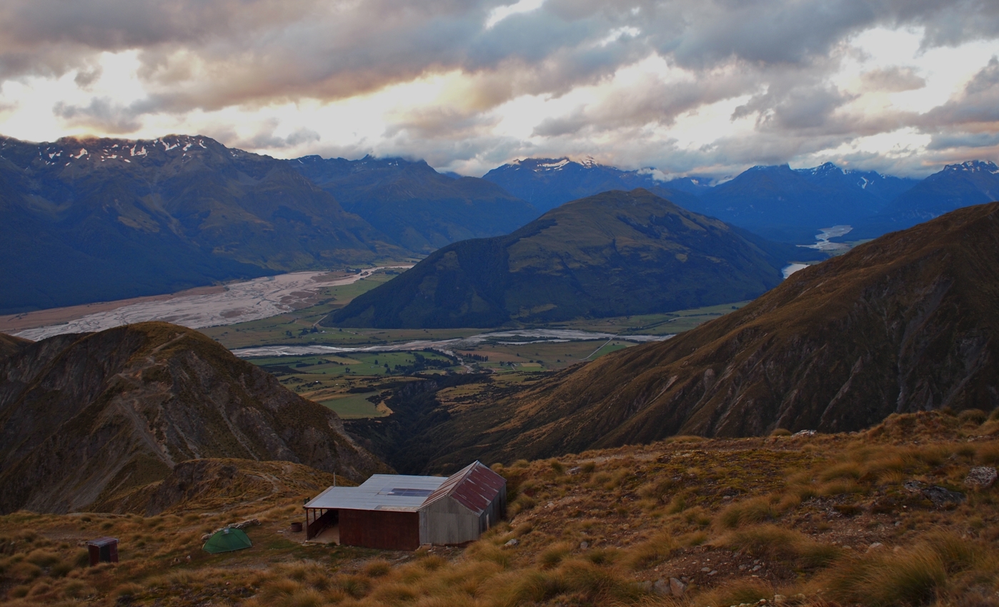
The McIntosh Hut has a different history, and would have been built in around 1915 for workers in the sheelite mines found all around this area. The hut felt almost unchanged since 1915, with old mining equipment, lanterns and other relics scattered about. We had the 6 bunk hut to ourselves, although the hut log book shows quite a few people come in and out throughout the year.
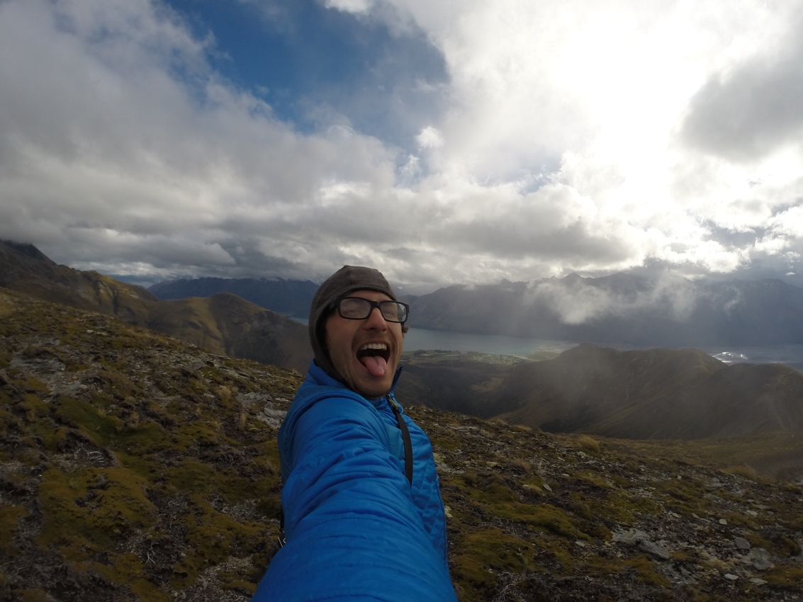
Loving the View
Evening Light
View from the Hut
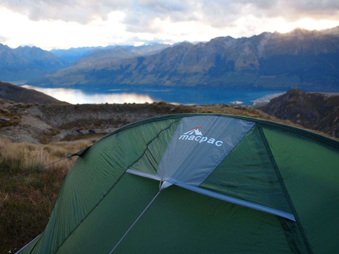
Since Bruce didn’t have the weight of a paraglider to bring up, he decided to bring a tent – not a bad view.
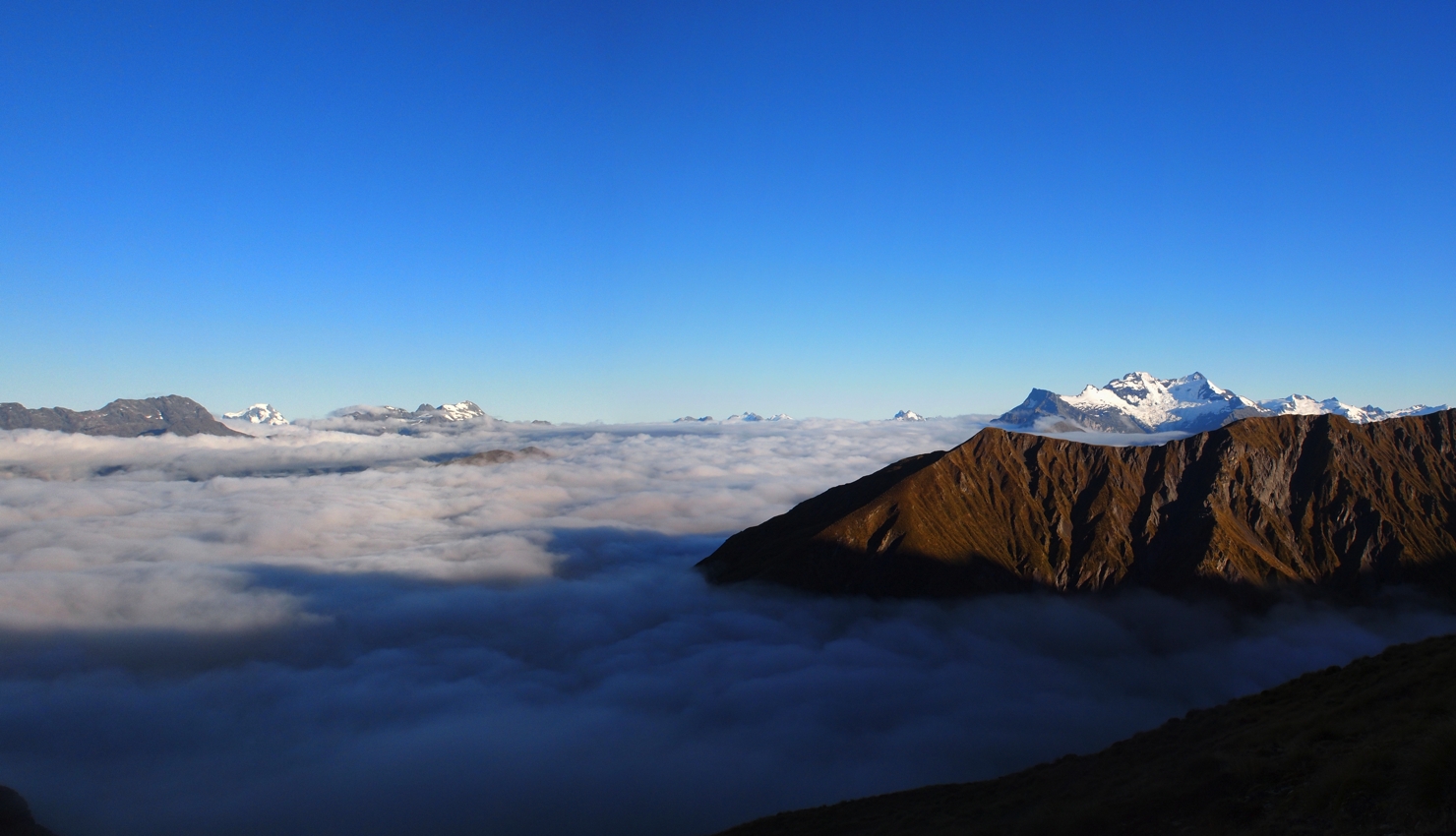
The following morning we woke to clear blue skies above a cloud inversion set on the valley below. Thankfully this burned off about mid-morning, and before that provided some incredible views of the surrounding mountains with an ocean of clouds below.
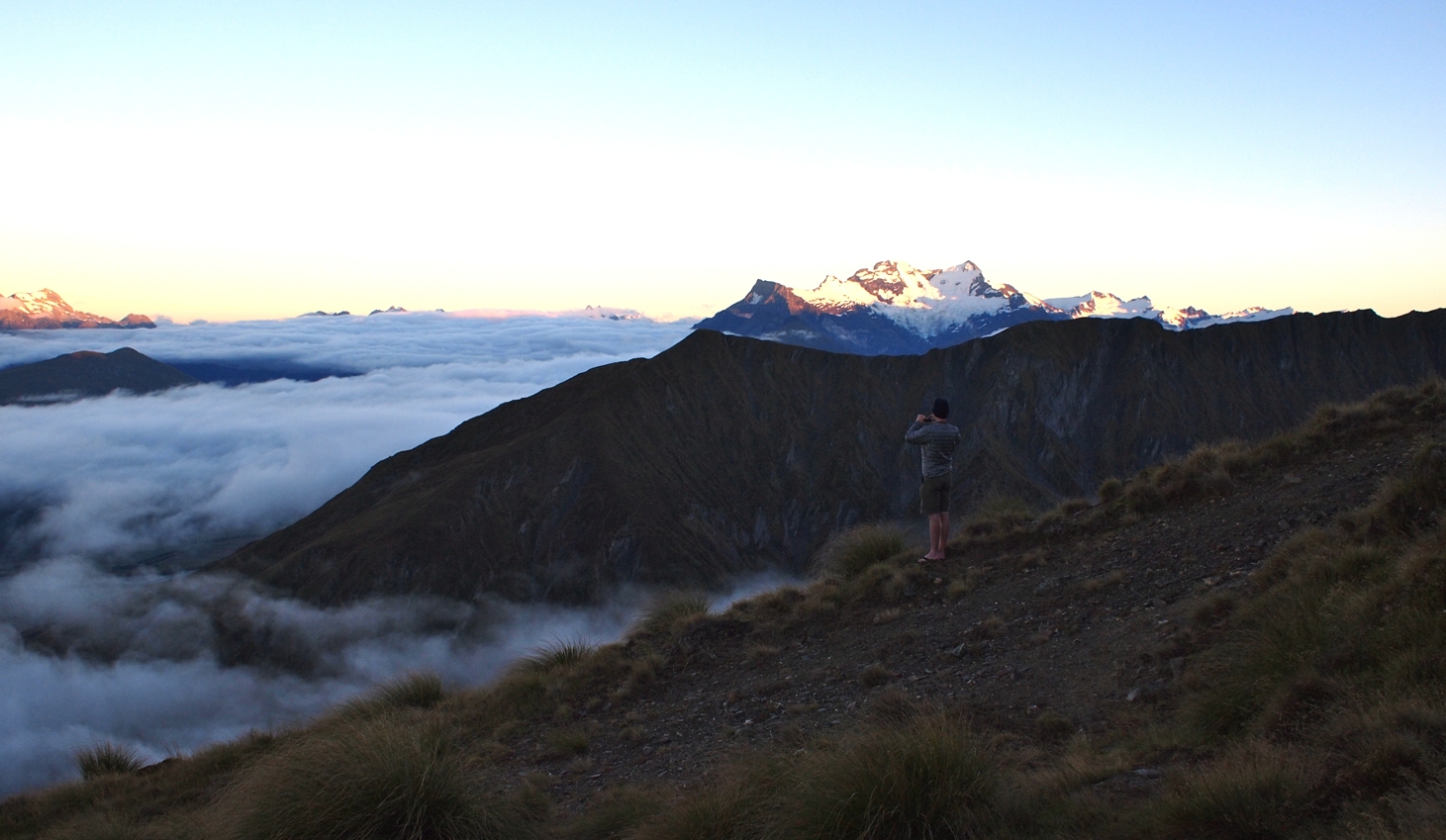
A Sea of Clouds
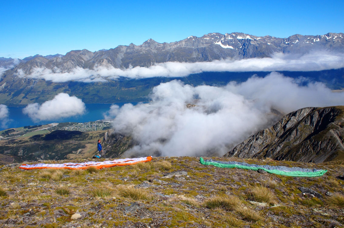
All set up to launch.
Gene and Mt Alaska in the Distance
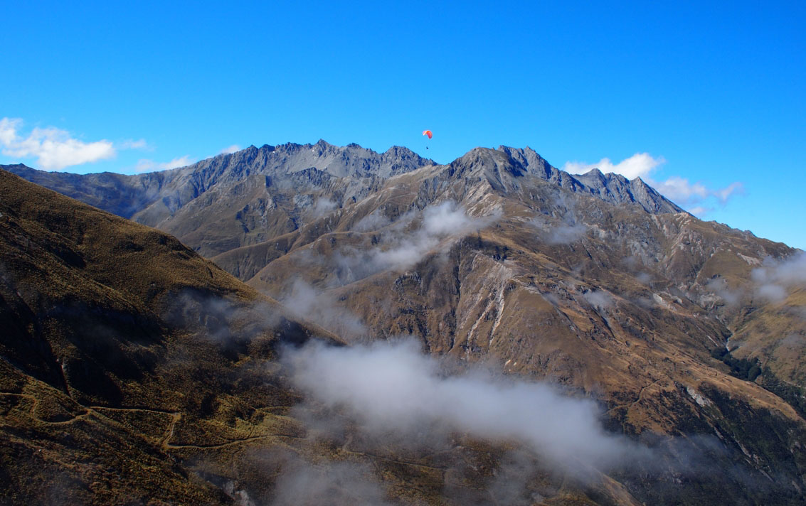
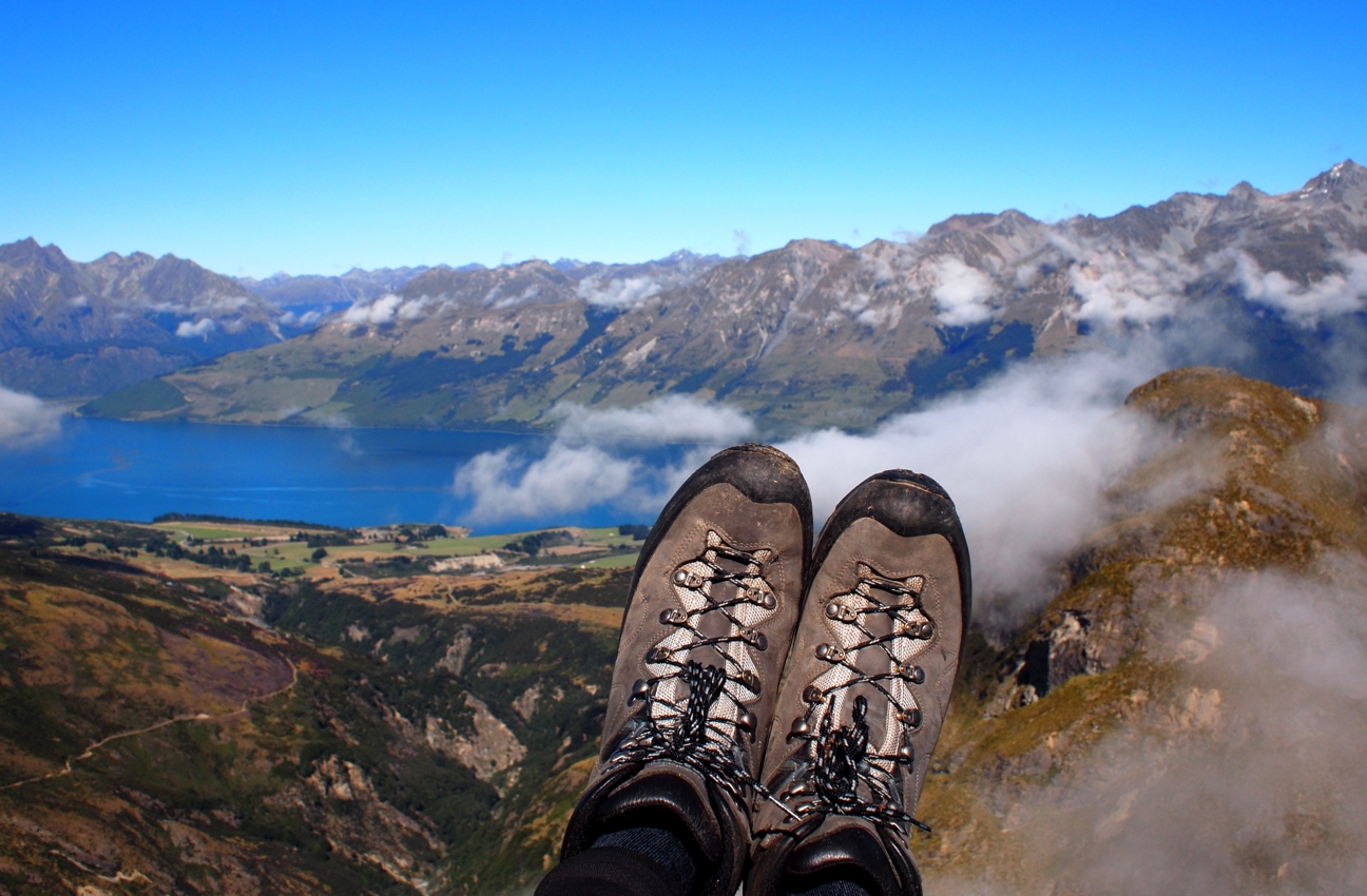
Flying through the clouds
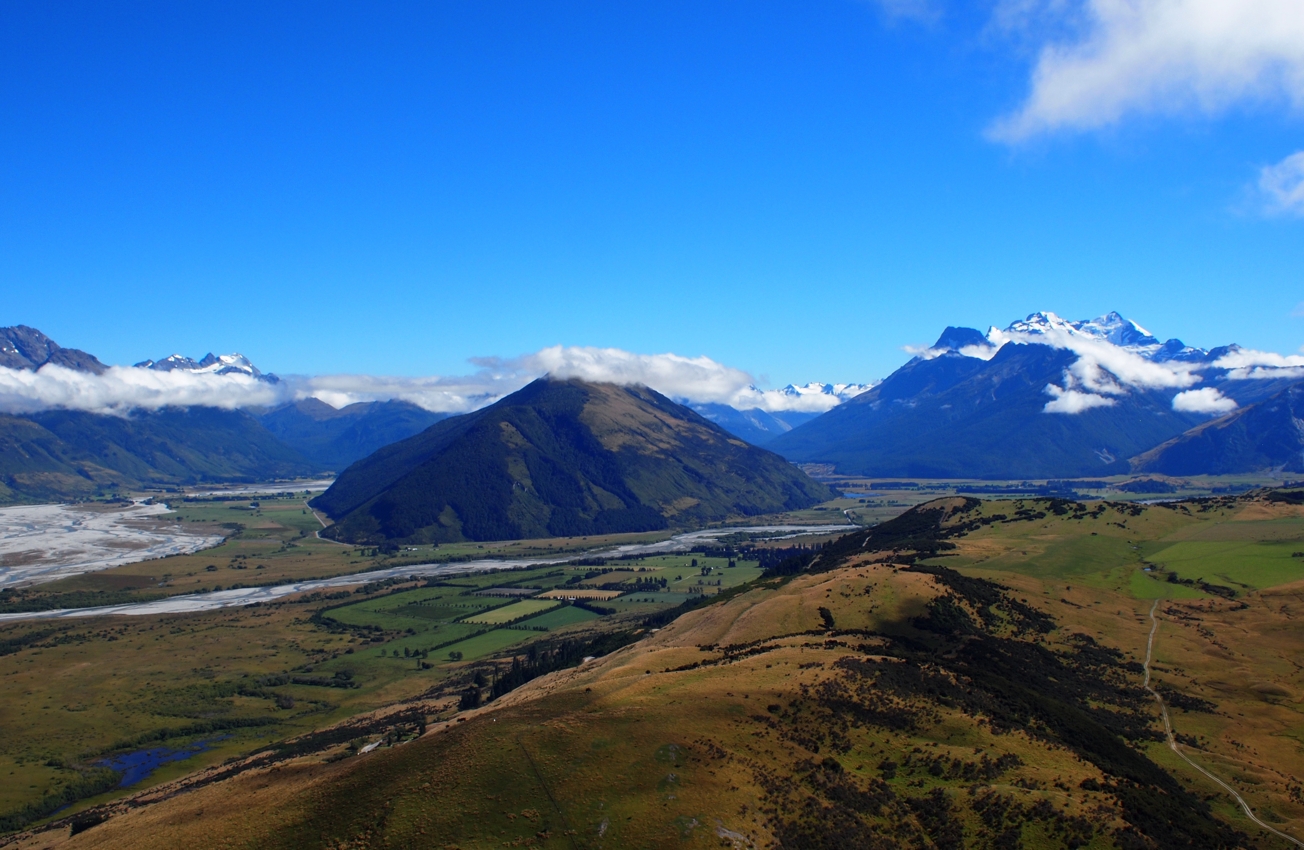
Mt Alfred, Mt Earnslaw and the Rees / Dart Valleys
Head of Lake Wakatipu & Glenorchy
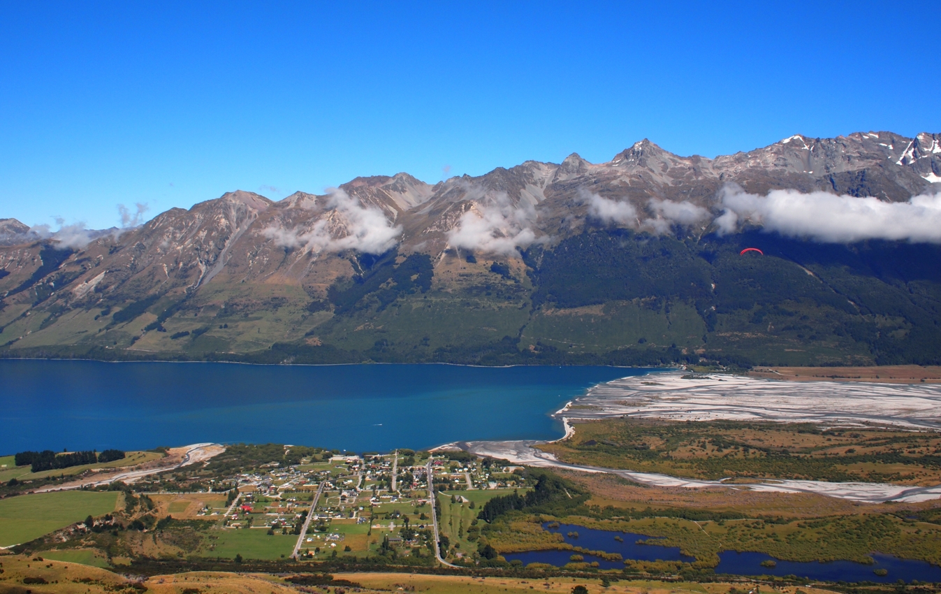
We had plenty of height at about 1,450 metres to fly all the way to Glenorchy – about 7 kms away – where we landed about 50 metres from the fantastic Glenorchy Cafe. Total time up to the hut was about 6 hours, total time down to the village was about 20 minutes – and that’s why I learned to fly.
Landed just outside the GY Cafe
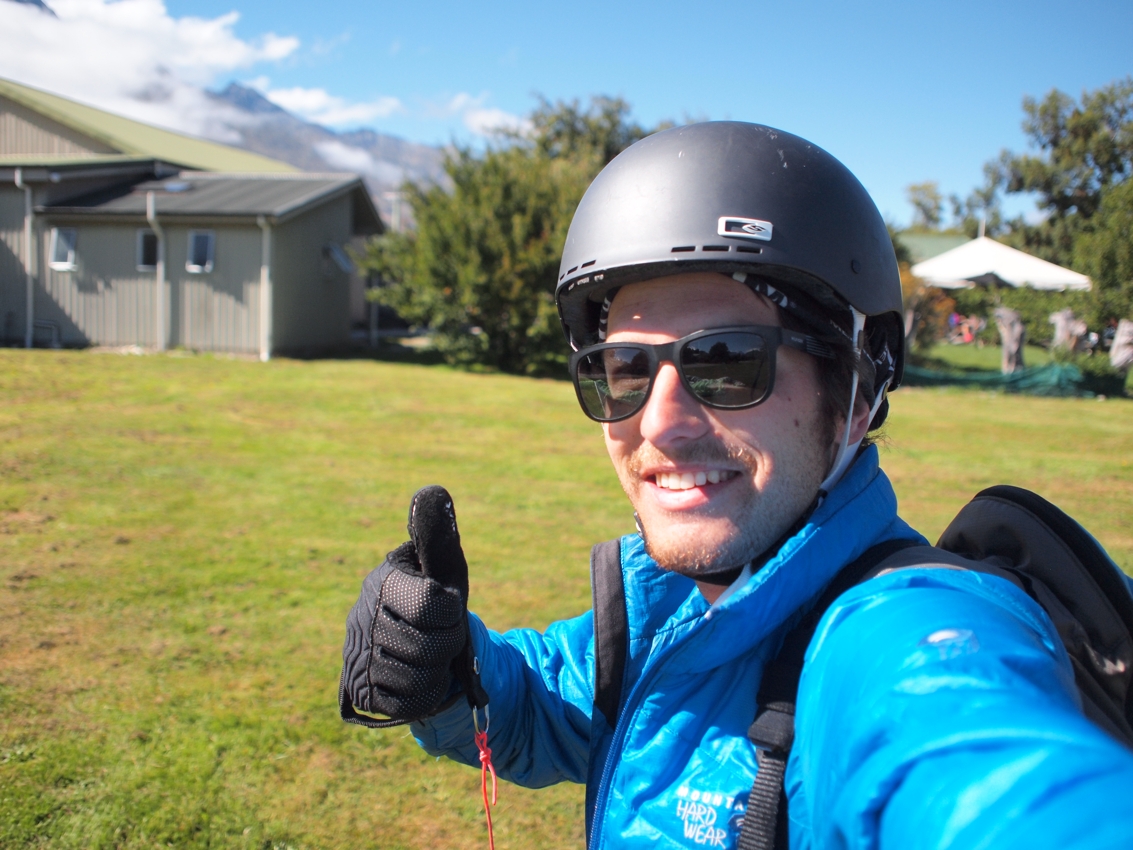

 Backpacking Matt


What beautiful photos! The landscape in New Zealand is breathtaking and Amaaazing! 🙂
Thanks Hannah, sure is! When are you visiting?!
Such a beautiful place…the place being New Zealand all around. I’ve got to get back there.
Thanks for the cool photos and the inspiration to fly.