I’m struggling to write this post. Not from writer’s block, rather I’m apprehensive to let the cat out of the bag as to how AMAZING the Rockburn Valley is. I’d rather keep it all to myself.
Nevertheless, here I go.
The Rockburn Valley is EPIC. It’s incredibly accessible and missed by thousands of people each year that get to within 2-3 hours of it.
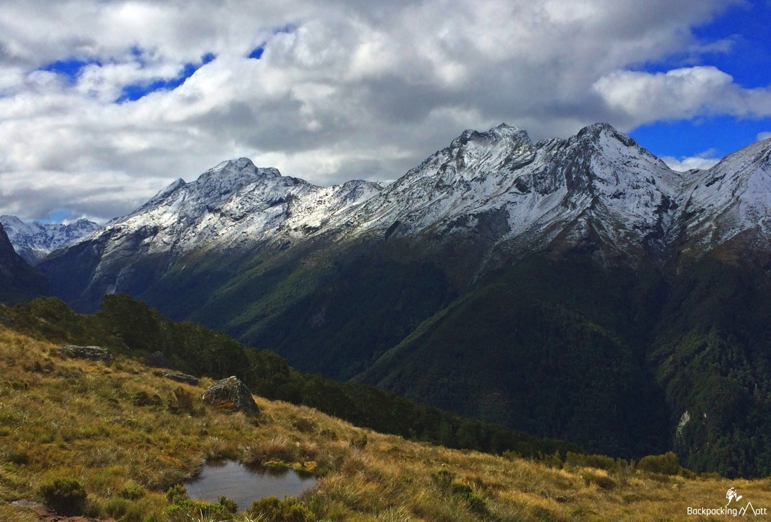
Last weekend was a long holiday weekend in New Zealand. It was Waitangi Day – a public holiday held on 6 February each year to commemorate the signing of New Zealand’s founding document in 1840 – the Treaty of Waitangi. Whilst public holidays don’t have quite the same appeal for me as I’m self-employed, I used it as an excuse to take three days off and go off the grid.
In fact, this was the first ‘vacation’ I’ve had since I began working for myself full time back in April (running Planit NZ). It was well needed, well deserved and hugely refreshing to spend three days in the bush, surrounded by pristine mountains and AWAY FROM CELL SERVICE.
Maura and I took off towards Glenorchy at around mid-day on Friday. We delayed our departure pretty significantly as Queenstown had an unusual cold-snap the day before, and the mountains were covered in snow. The plan the next day was to hike up to Lake Unknown, and as this is a big mission and one that includes some exposed sections of rock, there was no rush in getting up the Rockburn until the snow melted.
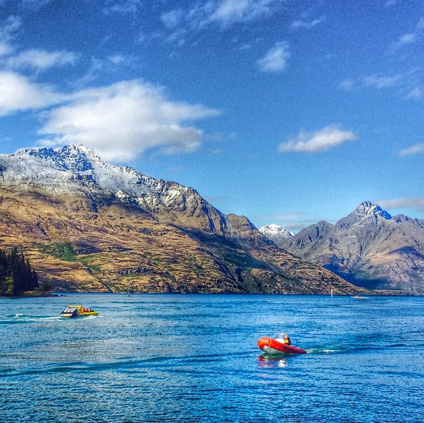
Exploring the Rockburn
The Rockburn Valley is directly north of the Routeburn Valley – the valley where one of New Zealand’s most-famous Great Walks begins, the Routeburn Track. Thousands of people walk past the turn-off to the Rockburn each year while hiking the multi-day Great Walk, but few take the time to explore the Rockburn.
Access into the Rockburn is straight forward. Shortly after setting off on the Routeburn, you come across a DOC sign for the Sugarloaf Pass which separates the two valleys. It’s a grunt up over the pass, especially with 3 days worth of food on your back, but the track is well maintained and well marked. The pass itself affords some incredible views back towards Glenorchy from one side and into the Rockburn Valley on the other.
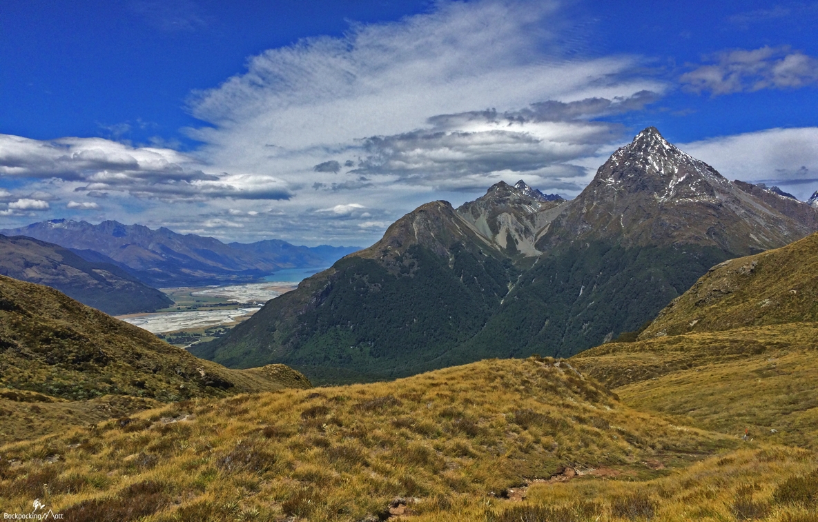
There would be a couple spots to set up a tent, but note the pass is often quite wet and boggy – certainly as it was when we crossed after the snow and rain.
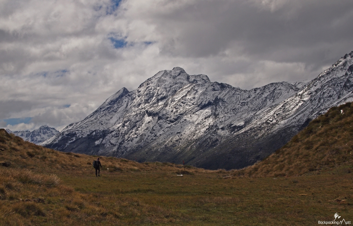
Carrying weight, you could expect about 2.5-3.5 hours to get from the turnoff to the high point of the Sugarloaf Pass – 1,154 metres (Note the Routeburn valley is at about 500 metres).
From the pass, the track drops steeply into the Rockburn before you come across a T intersection on the trail. Heading right takes you down the valley towards Lake Sylvan, and heading left takes you up the valley towards Theatre Flat – our destination for the night.
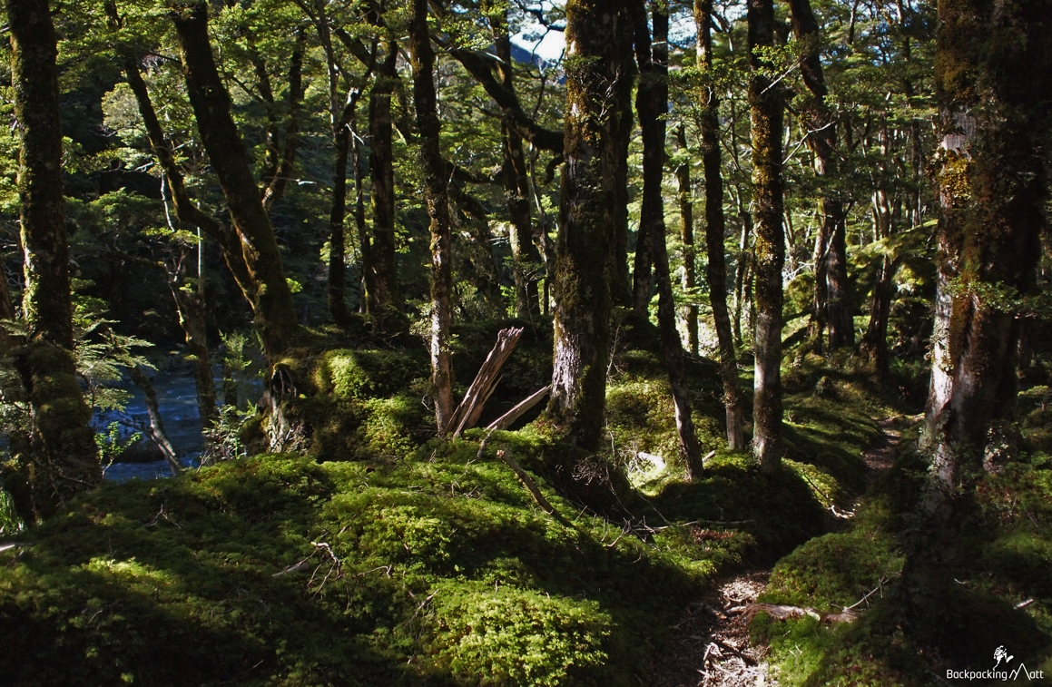
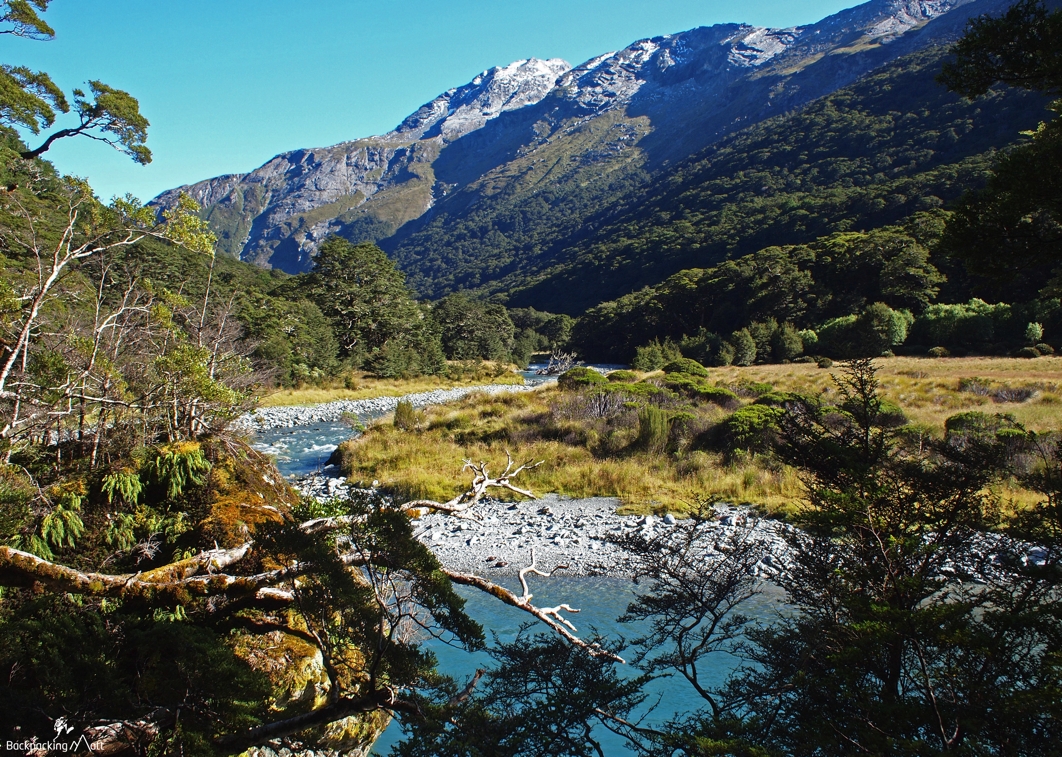
The track starts off with quite a few trees down and some very boggy sections, before ultimately flattening out and providing great walking through native bush across a couple rivers – after heavy rain, these might be impassable but we navigated them with no worries. The track hugs the shore of the Rockburn a couple times throughout the trip – offering incredible views of its blue-green waters.
As you head up the valley towards Theatre Flat, you’ll pass 3-4 different clearings / valleys that you could very easily set up camp at. We powered on, much to Maura’s dismay, and arrived at the super picturesque and aptly named Theatre Flat at about 8.40pm – just shy of 7 hours from the Routeburn road-end.
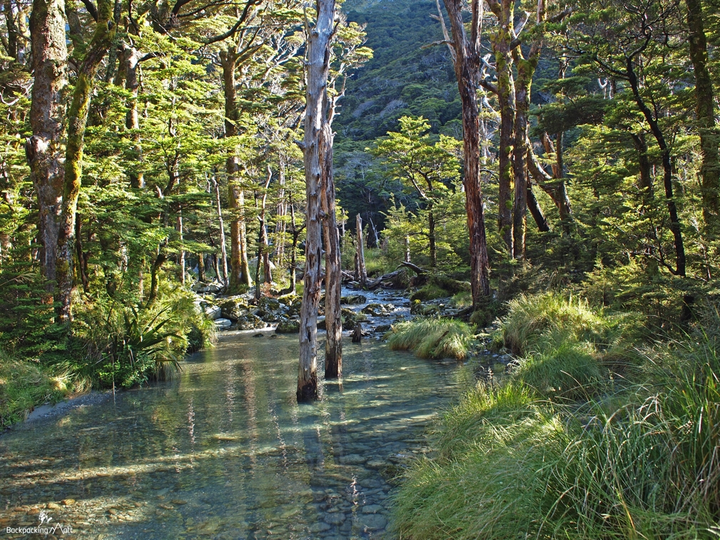
Theatre Flat is a long and wide valley surrounded by sheer rock walls and mountains. With fresh snow on the tops, it was just magic – a perfect place to set up camp for the coming two nights.
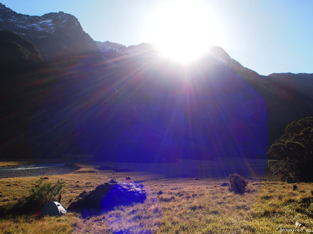
Our goal the next day was to hike up the ridge to our northeast for a glimpse of Lake Unkown. This was far more challenging than expected, and included lots of bashing through the bush, attempting to make our own trail. We climbed to about 1,050 metres and from here the notes had us coming out of the bush and up a tussock-covered ridge – unfortunately as a result of the snow / rain earlier in the week, this ridge was very wet and I wasn’t comfortable taking us any further.
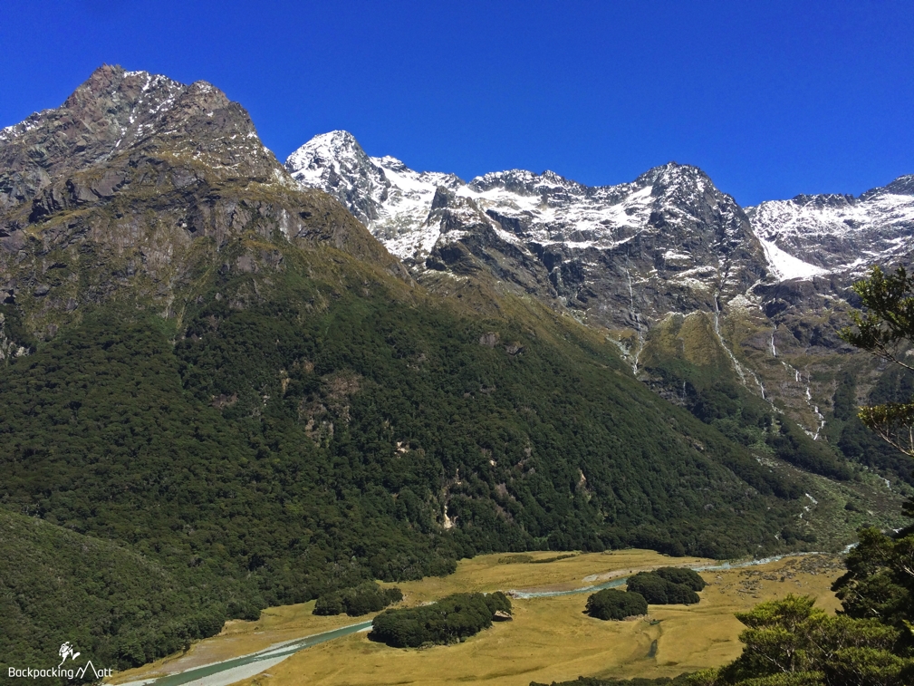
We headed back into the valley and soaked up the sun alongside the shores of the Rockburn – a leisurely way to end the day.
Scarpa Boot Tester 2015
I’m working with Scarpa NZ this year as a boot tester.
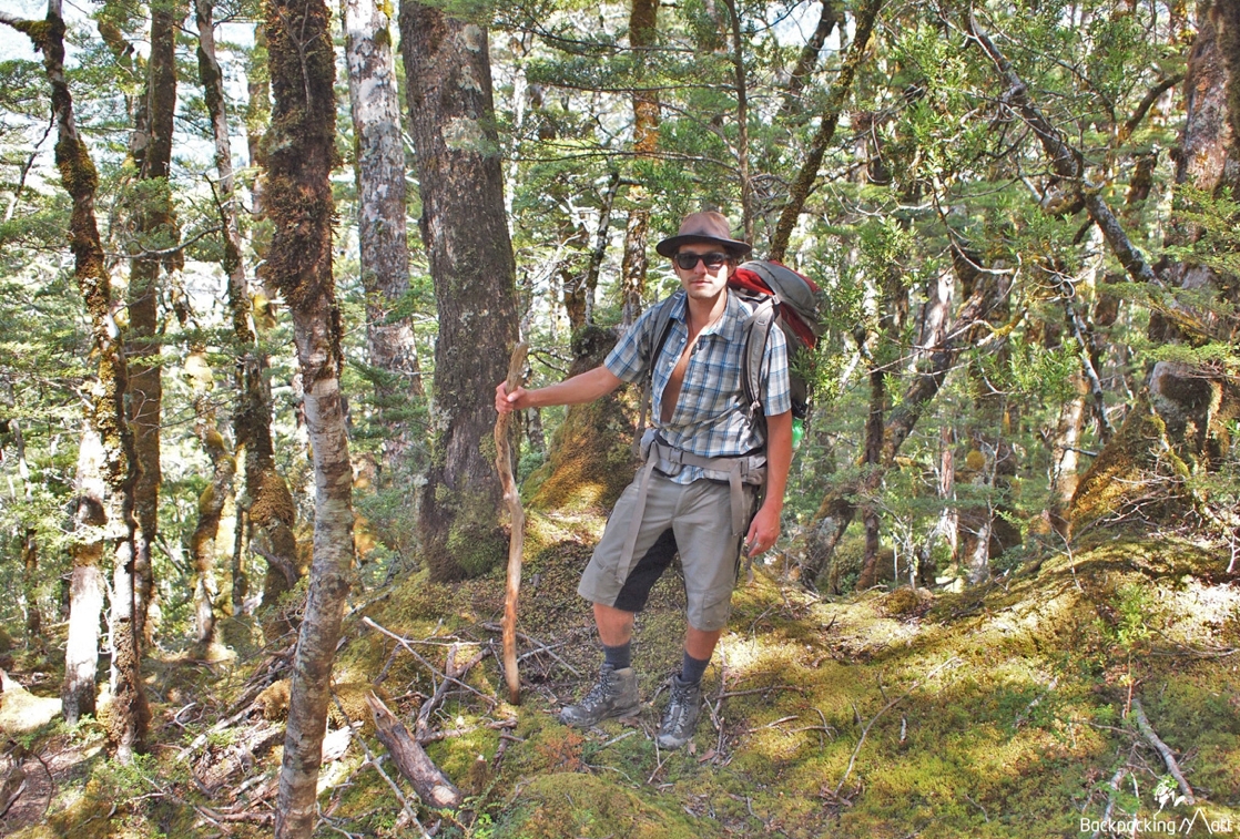
They’ve fitted me out with a pair of their Scarpa Kinesis Tech boots, and I’ll be taking them out into the New Zealand backcountry to see how they perform. It was arguably a bit ambitious to break in a brand new pair of boots with a 15km + hike, but they were fantastic. My feet held up well, and hiking with such a robust pair of boots was an altogether new experience for me. My feet stayed dry and found traction easily on wet roots or rocks. I’m looking forward to clocking up many more kms on these over the coming months.
I can’t believe I’ve been in Queenstown for nearly 5 years, and this was the first time I explored the Rockburn. On a busy holiday weekend, we shared the valley with one other tent and could count on two hands the number of people we saw over the three days. It’s a magical spot, and one that I’ll be returning to explore further one day soon.
Questions on the Rockburn? Have you been? Let me know if the comments below.

 Backpacking Matt


Hey Matt,
This definitely looks like a spot to take time for, but are there any DOC campsites? Or can you just camp in spots like Theatre flat? Every website about camping in NZ i checked said you needed a self contained vehicle or a campsite with sanitary services. Im currently busy collecting camping gear so i’d love to know more about the camping options!
The restrictions on camping in the backcountry come on the Great Walks that get all the traffic. Here, you can only camp in designated camp sites and/or in huts. Throughout the rest of the backcountry / national parks, there aren’t really restrictions as to where you can set up your tent. Just basic outdoor sense / responsibility required, e.g. leave no trace, dig holes for your poos, etc 🙂
Hi There!!
Great blog cant wait to explore this valley when I come down at the end of march. Did you walk out the same way you came or via lake sylvan?
We came out the same way – you’d have a long walk back to your car along the road otherwise!
Great Article!
We are coming from the US and are looking for a semi challenging 3 day walk and this looks to be a perfect one! One question, as it says it was too dangerous to get to Lake Unknown but if it was dry or warmer how hard is the trek from Theater Flat to the Lake? and would you have a time estimate?
Hey Sam, you’d need to be very experienced in route finding / navigational skills. It’s a significant bush bash up the ridge and then pretty steep exposed tussock / snowgrass beyond that. Not an easy approach!
Hi Matt,
Are there any huts in the area that you can do daywalks from to reach some of those views, or is it only accessible if you camp? Unfortunately we don’t have a tent with us & probably aren’t quite fit enough atm to lug that much gear anyway, but I’d love to see this area! (Sounds like the Rockburn Hut is gone? I don’t know if that was in a convenient location anyway?)
cheers
Hey Matt, I totally understand about keeping it quiet, but it is nice to see some info on this walk. I did it a few years back in December – in and out via Lake Sylvan, staying at the then derelict, and now removed Rockburn hut. It is a very pleasant and interesting route if anyone is interested in this alternative, and there is a shelter and toilet in the same location as the hut used to be. We had rain for four days on our trip, which made the waterfalls in the valley absolutely magnificent, but the river crossings very tricky – had to spend a lot of time looking for safe crossings. Looking forward to heading back there this year to try and get over Sugarloaf, and hopefully stay on the top. Will then go out via Lake Sylvan again.
Thanks George. It’s awesome country back there. Enjoy!
Thanks, will do : )
Just one more question… we are planning to camp on Sugar loaf pass, but if the weather is a bit rough, I thought we could drop down below the bush line. I seem to remember some nice flat spots just past the junction with the track to the Dart River (around point 844). Having been there much more recently, do you recall seeing anything that looked friendly for a tent?
Hey George, from memory there were a couple good camping spots after you dropped back into the bush and started heading up the valley. I’d say they are a fair bit north of point 844 alongside the Rockburn.