Planning a trip to New Zealand? Don’t forget to check out my Planit NZ travel guide for help in putting together the perfect itinerary.
I often wonder how an Iowa born and bred boy like myself could develop such a passion for the mountains. Needless to say, snow-capped peaks aren’t a common sight anywhere in the midwest, and this is certainly true in my homestate of Iowa.Yet after two years of living in a mountain-town on New Zealand’s South Island, I’ve developed a love for the hills – a passion for exploring, climbing and simply getting amongst the New Zealand backcountry. With literally dozens of tramping tracks and mountain bike trails in the very close vicinity to my home, it’s an easy addiction to fulfill.
I enjoy the quiet solitude that comes from walking through the bush, climbing up mountains or pedaling my bike. It’s times like this that allow me to decompress, relax and reflect on life.
Last weekend, I was in definite need of some of this relaxation and decided to spend a day walking and running in the mountains. I was in need of the mountain cocktail – crisp and fresh air, sun, sweeping views and a bit of exercise. I found it on the Routeburn Track.
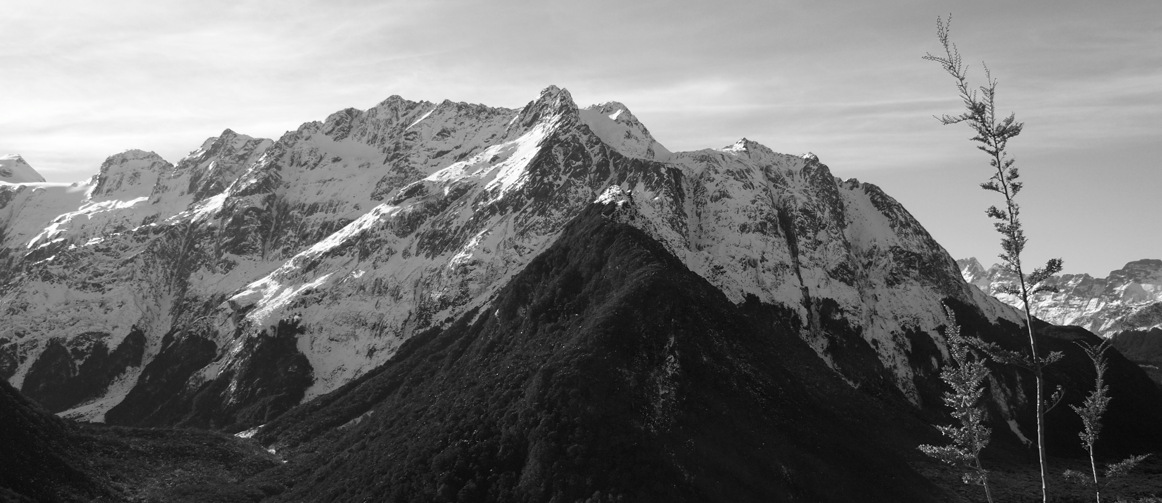
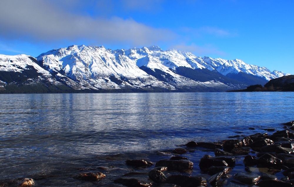
The Routeburn Track is a “Great Walk” – one of nine multi-day tramping trails scattered about New Zealand. It’s arguably one of the most popular Great Walks in New Zealand and offers a fantastic combination of native bush, towering mountains and alpine lakes. At 32 kms, most trampers choose to tackle this over two or three nights. Given its close proximity to Queenstown, it’s also an excellent choice for a day walk. From Queenstown to the trail head, it’s about a 90 minute drive – while you could get there slightly quicker, the drive warrants no short of a dozen photo-stops. Leaving Queenstown, you’ll follow Lake Wakatipu all the way to Glenorchy, some 45 minutes away. With views like this – it’s not a trip you’ll want to rush.
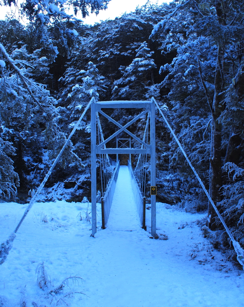
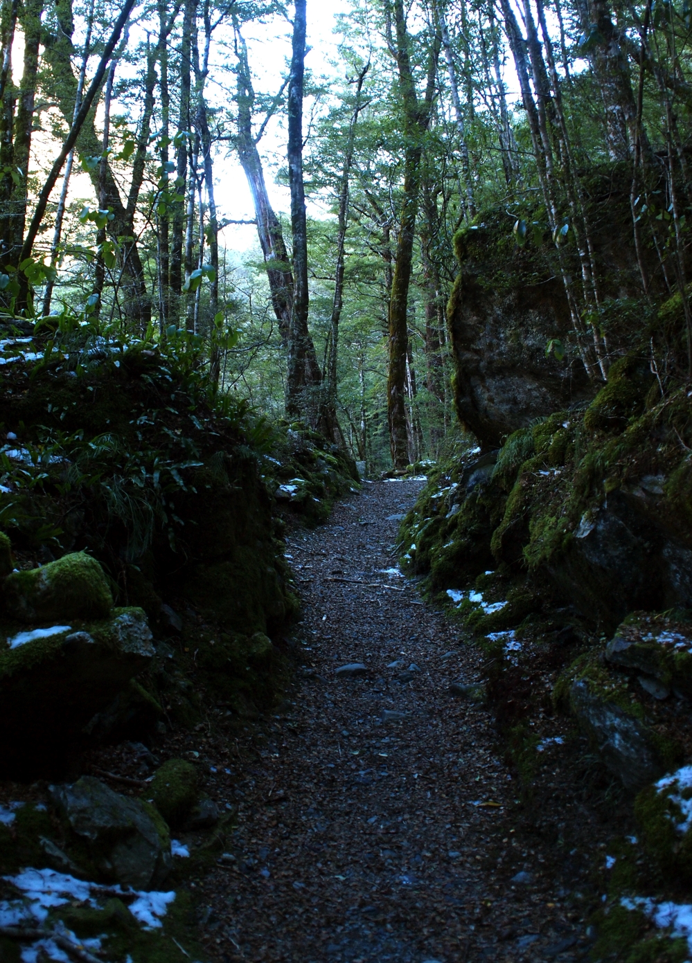
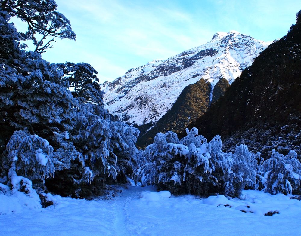
After arriving at the Routeburn Shelter and the trail head, you have a 1.5 – 2.5 hour walk to the first hut on the Routeburn Track – the Routeburn Flats Hut. The majority of this walk is through the bush – in the winter, this is almost entirely in the shade and the result is ubiquitous permafrost and incredibly fresh and crisp air.
Glimpses of Snow-Capped Peaks
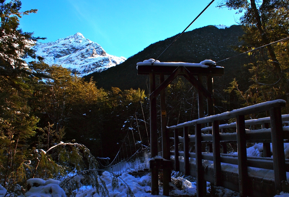
On the way to the Routeburn Flats Hut, the track meanders its way through native beech forest. It gradually undulates with few hills for about 7kms.
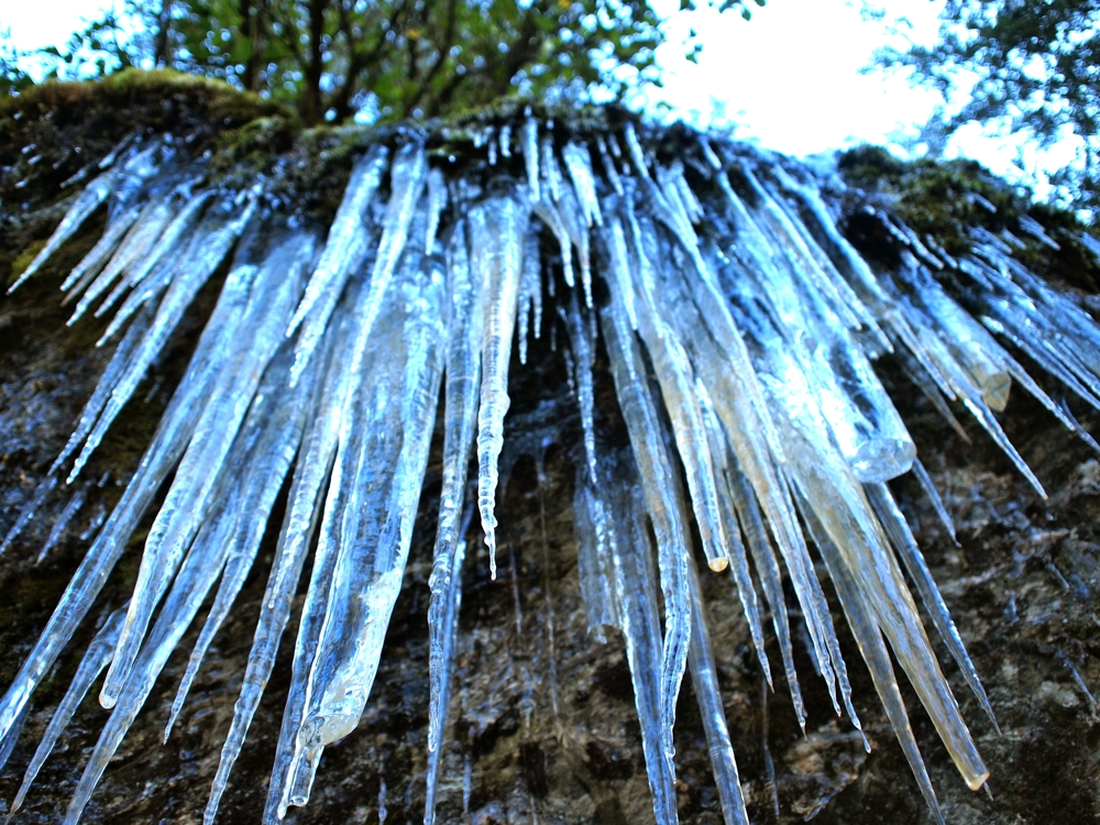
Track-Side Icicles
It was incredibly still and peacefully quiet with fresh snow on and around the track. Perfect snow-flakes.
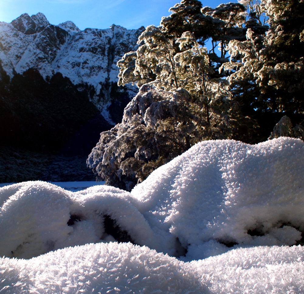
As you near the Routeburn Flats Hut, you sense getting closer and closer to the sunlight with more snow-capped peaks towering above you.
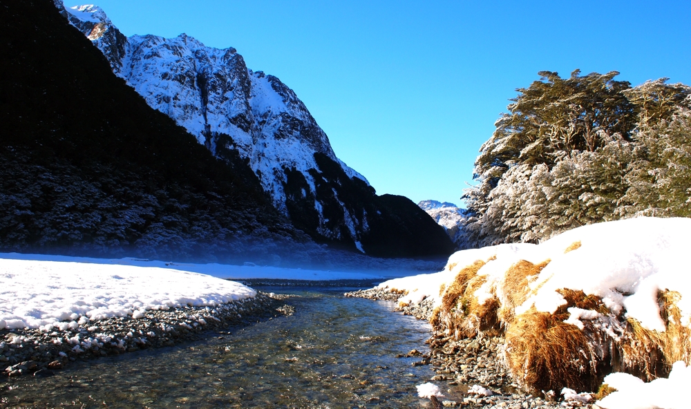
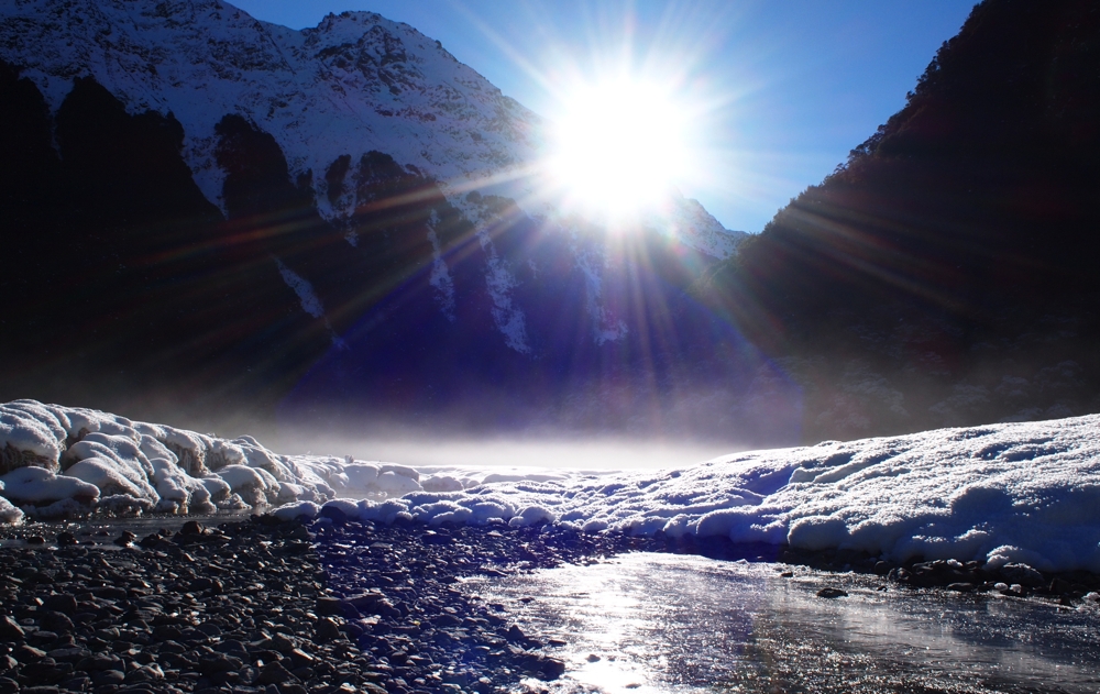
The Routeburn Flats Hut is the first hut you’ll come to. Huts in the New Zealand backcountry run from incredibly well-kept, clean and comfortable to various stages of disrepair. With a bunkroom, a kitchen and a sitting room with a wood-burner, the Flats Hut is a pretty cozy spot to spend the night. And the view isn’t bad either…
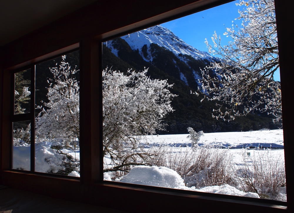
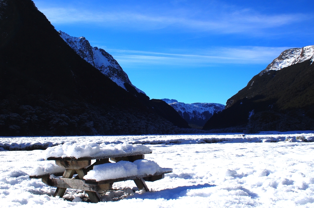
A view down the Routeburn Valley…
Past the Routeburn Flats Hut, the trail gets significantly steeper for about an hour as you climb through the bush and up towards the Routeburn Falls Hut. Midway along, you reach a point where a slip (i.e rock/land slide) has cleared the trees resulting in an epic view of the Humbolts Mountain Range.
It’s an idyllic spot, and a fantastic place to sit back in the sun and take in the awesomeness of the South Island’s Southern Alps.
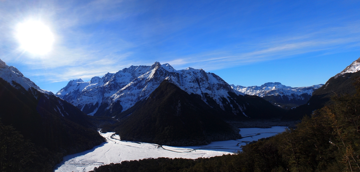
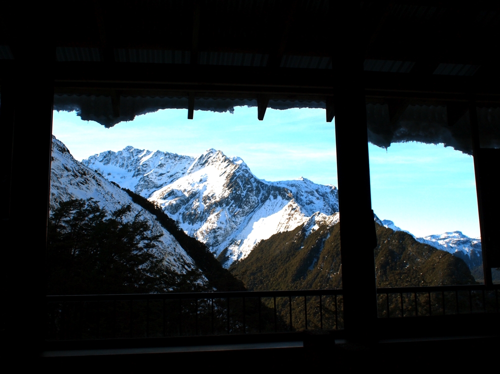
The Routeburn Falls Hut sits about 20 minutes further on. It’s a large hut that is an incredibly busy place in the summer months. In the winter, it’s another peaceful place to reflect on the views.
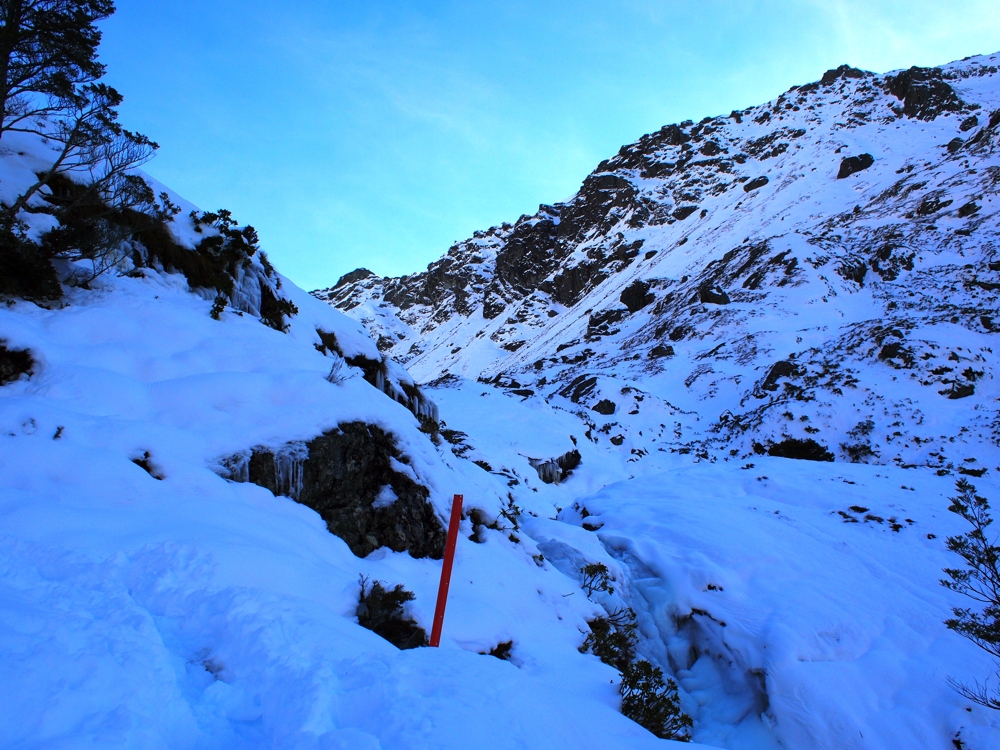
Over the winter months, it’s dangerous to go too far past the Routeburn Falls Hut. From here, it’s an alpine pass over the Harris Saddle and is known for frequent avalanches. I opted to go 15 or so minutes past the hut to the Routeburn Falls.
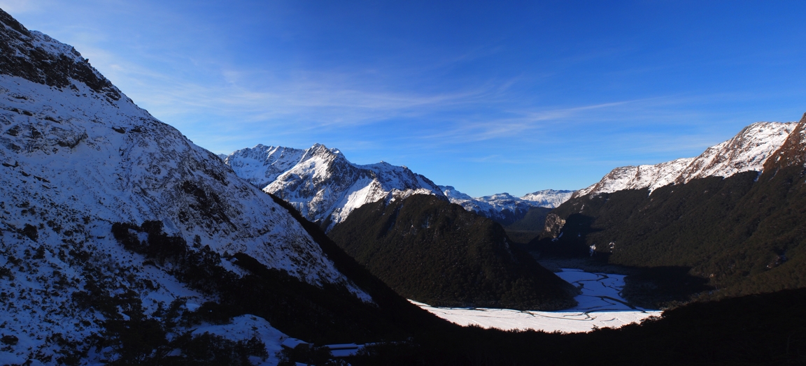
From here, another fantastic view back towards the Humbolts and down the Routeburn Valley…
This day walk on the Routeburn Track took me just about four hours – yet this included me jogging about 50% of the time. If you were only walking, you’d want to allow 7 – 8 hours. Have you found the perfect mountain cocktail in New Zealand? Let us know in the comments section below. Interested in more walking or hiking opportunities in New Zealand? Check out these other NZ hiking experiences:
- Climbing Ben Lomond in Queenstown
- A Day Trip from Queenstown: Climbing Mt Alfred
- Climbing the Iconic Mitre Peak in Milford Sound
- A Walk up Queenstown Hill


 Backpacking Matt


Love your pictures… they really take me back to my trip to New Zealand a few years ago. We were also there in the winter and despite it being awfully chilly at night, I would say it was the perfect time to visit – the landscape was simply breathtaking. I only wish we had more time to do some serious hiking! Thanks for the post!
@Margyle Glad you enjoyed the photos — it’s a fantastic spot any time of the year!
Dear Matt,
Really impressed with your blog, especially this quote:
“I enjoy the quiet solitude that comes from walking through the bush, climbing up mountains or pedaling my bike. It’s times like this that allow me to decompress, relax and reflect on life. ”
I’m writing on behalf of the KEEN Recess Team. We’re trying to spread the word about the importance of getting outside. Thanks for your insight!
Best,
KEEN Recess Team
@Keen Cheers! 🙂
Hi Matt, You have postcard quality pictures here, really awesome. I have some relatives in New Zealand and these pictures are telling me to start saving for my trip there.
I hope you to see you add the Philippines in your website’s list later. There are plenty of great places to visit here. El Nido Palawan is one of our great beaches here, you can also try swimming with whalesharks either in Cebu or Donsol.
Cheers!
EJ
@EJ Thanks heaps for the compliments – glad you’ve enjoyed the photos. You should absolutely start saving for a trip here, and hopefully one day I can visit the Philippines.
Absolutely beautiful. I, too, am drawn to the mountains even though I’m from the gently rolling hills of central Kentucky.
Wow, this is some stunning scenery! I really like the photo of the dangling icicles.
What a beautiful hike! It reminds me of my home, British Columbia… great hiking here, and some serious wilderness! What awesome photos too! Feel like I was there…
Awesome pictures Matt!I’ll be doing the whole track this coming June with my mate and just wondering of what to bring gadget wise i.e. ?crampons etc.Thanks heaps!
Hi Lyndon, thanks heaps for the compliments! The Routeburn is closed to most trampers throughout the winter due to avalanche danger – so you’ll want to be very experienced in the backcountry if you’re planning on walking the track in June.
Hi Matt, great photos, may I know which month of the year you did this track? Thanks
Hi Hideaki – glad you enjoyed! Not certain the month … mid winter sometime, so perhaps July or August.
Hi matt! I’m over in NZ end of June and will be using this as a itinerary for my day hike on the routeburn.
Is the track well marked if there is a heavy snow fall?
If weather permits I may stay a night out there.
Which hut would you recommend to relax in mate?
Love the blogs!
Hey Dylan, likely at the end of June you could get as far as the Routeburn Falls Hut, although depending on the snow line maybe only as far as the Routeburn Flats hut!
Hi Matt,
Great blog. My friends and I are out in NZ this July. We are hoping to get some hiking in however are wondering about access and how limited we are going to be with a lot of the tracks. The dream was to do the Milford track, however parts of this do not seem safe during the winter. What other tracks do you think would be achievable around this area in July?
Many thanks,
Beni
Hey Beni, you won’t be able to walk the Milford Track in July. I’d suggest doing a day walk on the Routeburn Track as far as Routeburn Flats Hut (or Falls Hut if there is little snow), however I’d suggest checking in at the local Queenstown Department of Conservation office before doing any winter walking to ensure there is no avalanche danger!
Question, Matt: I know you said you hiked this alone…. is the full 3 day hike safe for a female traveling alone do you think? I’m more concerned about meeting an ax murderer than a sprained ankle…